


Tufuate kwenye Instagram
Zaidi ya kampuni ya nje.
@sawyerproducts
Follow us on Instagram


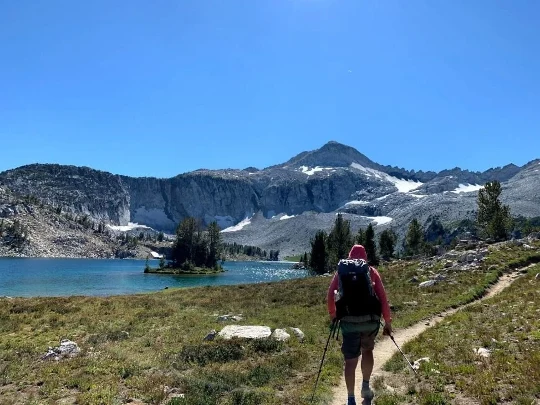
Find a true wilderness experience on Oregon’s newest long-distance trail.
Watch videoDistance: 520-565 miles (depending on alternate routes taken)
Time to hike the entire trail: 4-6 weeks
Elevation gain: 85,000’
Elevation loss: 87,000’
High Point: 8,400’ (Elkhorn Crest Trail)
Low Point: 1,000’ (Snake River)
Best season: August-September (some sections have longer hiking season)
Permits: None required
Difficulty: Strenuous
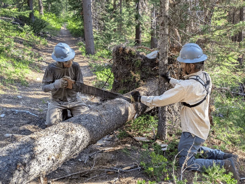
The Blue Mountains Trail is a remote ~550 mile long trail providing outstanding views and a true wilderness experience. The hiking trail avoids towns and heavily traveled roads, which can complicate resupply but results in a true sense of solitude.
Distance: 520-565 miles (depending on alternate routes taken)
Time to hike the entire trail: 4-6 weeks
Elevation gain: 85,000’
Elevation loss: 87,000’
High Point: 8,400’ (Elkhorn Crest Trail)
Low Point: 1,000’ (Snake River)
Best season: August-September (some sections have longer hiking season)
Permits: None required
Difficulty: Strenuous
The Blue Mountains Trail is a remote ~550 mile long trail providing outstanding views and a true wilderness experience. The hiking trail avoids towns and heavily traveled roads, which can complicate resupply but results in a true sense of solitude.
Zaidi ya kampuni ya nje.